DNR survey data · statewide
6 Overlooked Walleye Lakes in Minnesota
6 walleye lakes that fish better than their reputations, picked from 2,281 surveyed Minnesota lakes using DNR catch rates and fish sizes.
By David Berget · Published August 17, 2026 · Updated September 22, 2026
The DNR has recorded walleye in 2,281 Minnesota lakes. The 6 below get little attention, but their survey numbers are strong, and each one has public boat access, a ramp or a carry-in.
The lakes with the most walleye are usually not the lakes with the biggest walleye. Some of these made the list for how many fish the DNR caught and some for how big they were. The label on each lake says which.
Numbers and size. The DNR caught 6.7 walleye per gill net, and 42% of them measured 20 inches or better.
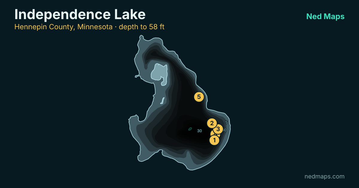
- 832 acres
- 58 ft deep
- biggest 28 in
- surveyed 2025
- stocked 2025
Numbers and size. The DNR caught 15.2 walleye per gill net, and 49% of them measured 20 inches or better.
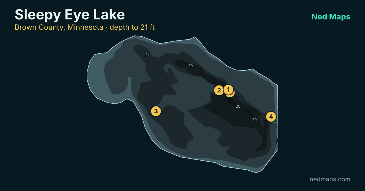
- 241 acres
- 21 ft deep
- biggest 26 in
- surveyed 2021
- stocked 2025
Big fish. 55% of the walleye measured here were 20 inches or better.
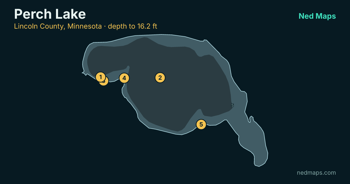
- 246 acres
- 16.2 ft deep
- biggest 28 in
- surveyed 2025
- stocked 2025
- carry-in access only
Big fish. 42% of the walleye measured here were 20 inches or better.
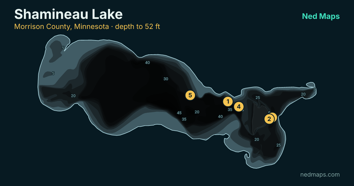
- 1,434 acres
- 52 ft deep
- biggest 30 in
- surveyed 2025
- stocked 2025
Big fish. 43% of the walleye measured here were 20 inches or better.
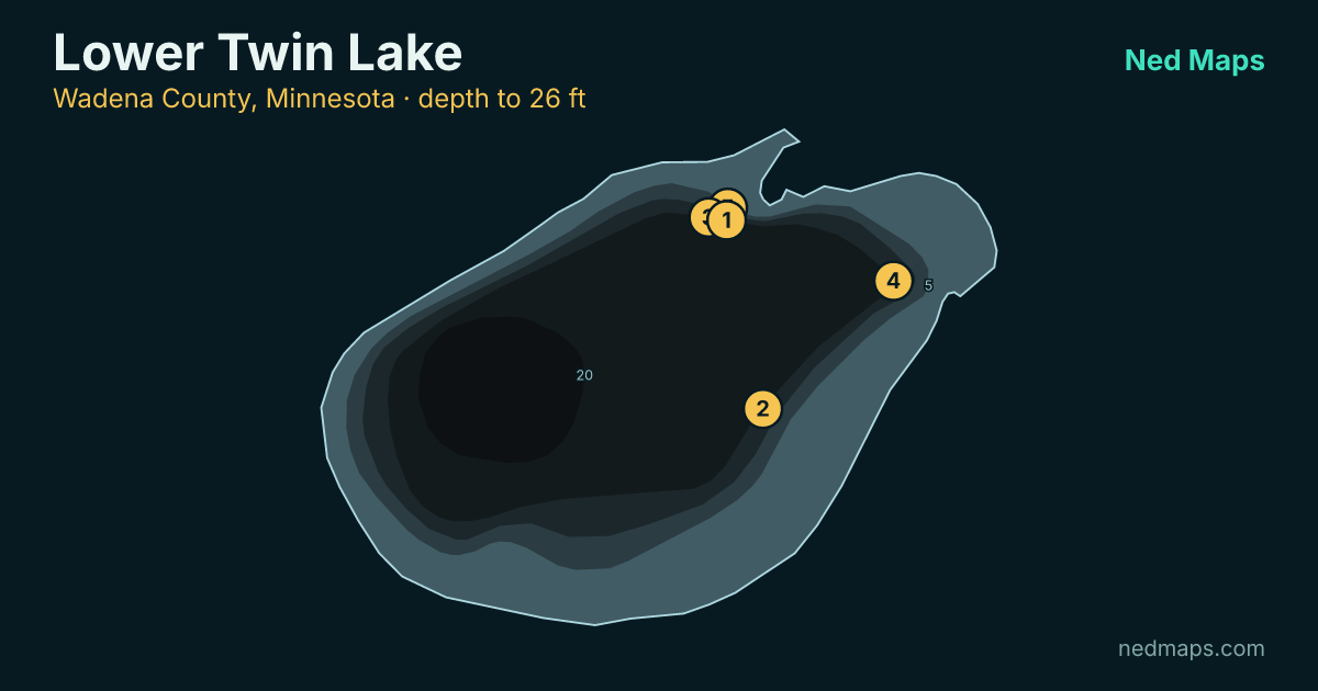
- 252 acres
- 26 ft deep
- biggest 30 in
- surveyed 2023
- stocked 2025
Numbers and size. The DNR caught 7.3 walleye per gill net, and 30% of them measured 20 inches or better.
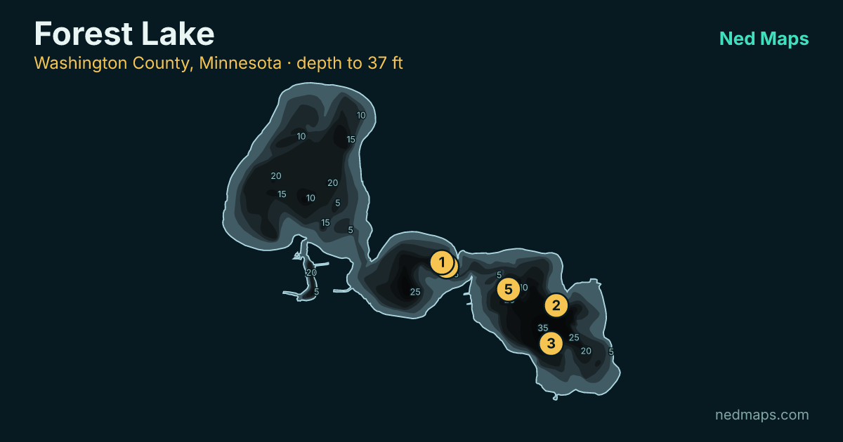
- 2,271 acres
- 37 ft deep
- biggest 27 in
- surveyed 2025
- stocked 2025
How these walleye lakes were picked
The DNR counts walleye with gill nets set overnight and pulled in the morning, so every catch rate on this page is a survey count, not an angler report. The DNR's moderate mark for gill nets is 4 walleye per net, and every lake here is at or above it. Size is a separate measure: the share of walleye 20 inches or longer. A lake can have plenty of walleye and still have few that big.
Of the 2,281 lakes with walleye on record, 1,271 are under 60 feet deep with at least 50% of their water in the shallows, where most of the food grows. From those we set aside the lakes already on our list of the state's best walleye water, since they get plenty of attention. Then we kept only lakes surveyed since 2016 that met the catch-rate mark above and have public boat access, and listed each body of water once. These 6 scored best of what was left. The full method is on how the grades work.